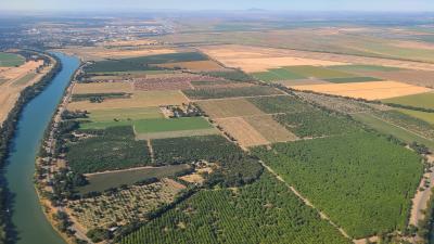
 What is the California Department of Water Resources Land Use Gallery? It is a collection of ArcGIS Web Apps by the California Department of Water Resources Land Use Program. The Web Apps in this growing collection were configured to serve various purposes for a wide range of interested users, including land-use information provision, access to land use survey inventories, land use data downloads in GIS format, statewide crop mapping dashboards for certain Water Years, and providing a timeline highlighting landmarks in the evolution of the DWR Land Use Program since the 1950s.


 Advertising