


Can I get some advice on how to use these two functions on my graph?
What I don’t know is what is the “C” box and how do you use it?
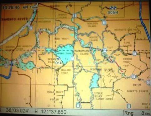
Last time I navigated the rivers, channels and sloughs my Navionics chip with its superior detail kept me right in the deeper areas that I wanted to travel while up on plane. I quickly realized the middle of every channel is not the deepest and safest route to travel.
Myself and another boat, along with a couple of good friends will be fishing out of Isleton from Wednesday 4/20 through Sunday 4/24. It’s been a couple of years since we’ve been in that neck of the woods so any advice on presentations or which way to point the boat would be greatly appreciated. How are the current water temps and conditions?
Also we could use some local advice on where we could pull up and tie off to the dock and enjoy some good food and beverages for lunch somewhere on the water?
We’re hoping for good weather, good times and some good fishing.
Thanks; Big Ed!


 Advertising