

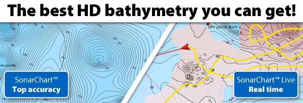
SonarChart™ and SonarChart™ Live give you the greatest bathymetric detail available on plotter and mobile.
SonarChart™, our 1 ft HD bathymetry map, is unrivalled for bathymetric detail and accuracy because Navionics accepts sonar logs from the widest range of plotters as well as mobile devices! We then integrate the sonar logs contributed by individual users like you with existing data to ensure SonarChart™ becomes more and more precise, even in the ever-changing conditions of sea, lake and river bottoms. The enhanced SonarChart™, resulting from all the uploaded sonar logs, is available for the whole community on plotter, mobile and on the web!
SonarChart™ Live allows users to create new personal 1 ft HD bathymetry maps thatdisplay in real time while navigating. It’s also an excellent way to enhance SonarChart™ because your sonar logs can be automatically uploaded to Navionics. SonarChart™ Live works with any sounder connected to an Apple or Android mobile device; and now it also displays directly on Raymarine MFDs.
SonarChart™ and SonarChart™ Live work better together. Follow the links by device to learn more:
 Advertising