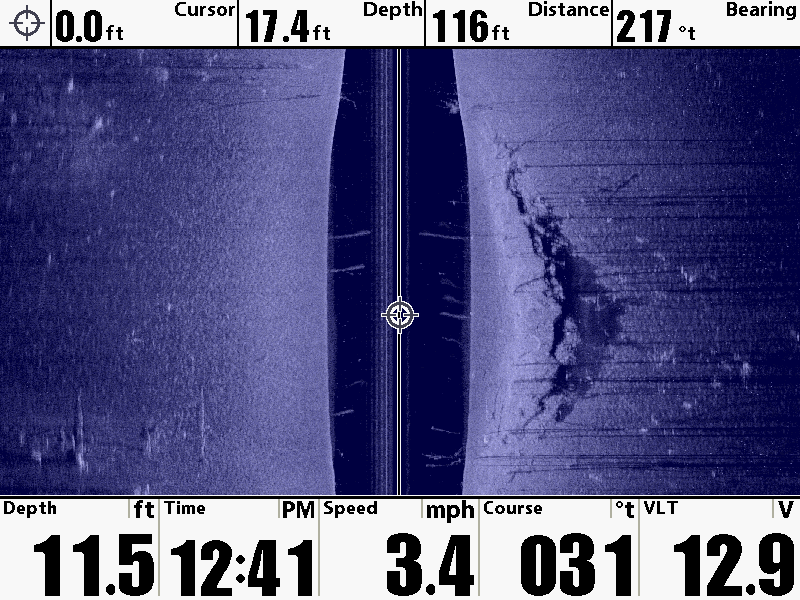
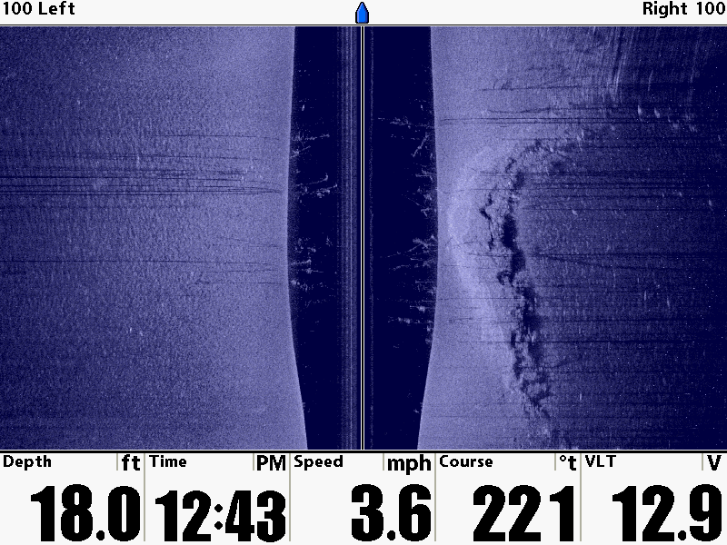
It was an old road and made a 90° Bend. I've fished the area but never scanned it until yesterday when I seen the first image that made me do a quick U turn and scan it straight. Always thought the the road bed was flat on the bottom not elevated like this...
I did not have SI Enhance on when I did this was looking for submerged tree rows... But I found a new area that most don't know what's under there. I do now.


 Advertising